Equipment and technology
Five state-of-the-art sensors, advanced infrared and photographic imagery equipment, and satellite communications capabilities allow Airborne ASPECT to provide first responders with detailed information in a useable format.
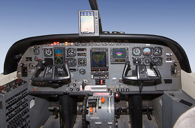
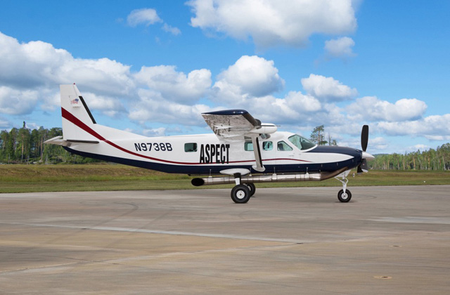
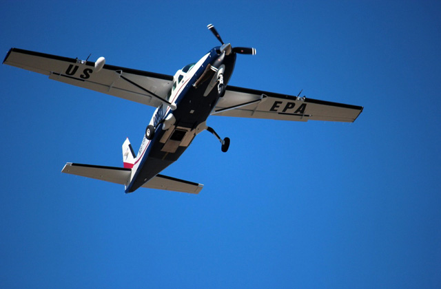
AircraftThe ASPECT aircraft is a Super Cargomaster, part of the Cesna Caravan Family of aircraft, selected specifically for its qualities as a special mission aircraft. It is powered by a PT6A turboprop engine — a powerhouse that offers unmatched performance and reliability. The Super Cargomaster’s airframe is constructed of durable aluminum and has multiple load redundancies and reliable remote operations. It’s power, dependability, versatility, and configurability make it a reliable platform for the ASPECT mission.
Plane: Super Cargomaster (near Dallas, Texas) Range: 905 nautical miles Coverage: 4-hour coverage within a 700 mile radius Service Altitude: Data collection at 300 to 5,000 feet above ground level Speeds: Data collection at ~110 knots; cruise at 180 – 200 knots Ground Needs: Standard FBO and high speed internet Aircraft Crew: 2 commercial/ATP rated pilots and 1 operator |
    |
Sensors
- Infrared line scanner (IRLS) to image chemical plumes
- High-speed infrared spectrometer to identify and quantify the composition of the chemical plume in the ppb to ppm range
- Gamma-ray spectrometer systems for radiological detection
- High resolution digital cameras (aerial & oblique) with ability to rectify for inclusion into geographical information system (GIS)
- Central platform integrates all sensor data and processes it through customized scientifically-validated software, producing data and images within minutes while in flight
- Broadband satellite data system (SatComm) for communications with and data transfer to the ground team
Aerial Photography equipment
|
The ASPECT aircraft uses a high resolution digital camera to collect visible aerial images. An effective ground coverage area of 885 x 590 meters is obtained when operated from the standard altitude of 850 meters.
|
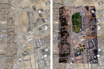
A Google Earth base image of the Balloon Fiesta Park in Albuquerue, NM is overlaid with a mosaic of georectified aerial imagery from the ASPECT aircraft.
|
Satellite communications
The ASPECT aircraft uses a broadband satellite system to provide near real-time data communication. The broadband option provides reliable conductivity for the entire continental United States and consists of a Chelton FAA certified phased array antenna coupled with a high-rate magnetometer to provide antenna steering. One master transceiver is coupled with a power amplifier to provide a 300kilobyte (KB) down-load speed into the aircraft and a 100KB up-load speed from the aircraft. Integrated with the transceiver is a standard ethernet router providing full port forwarding capability.
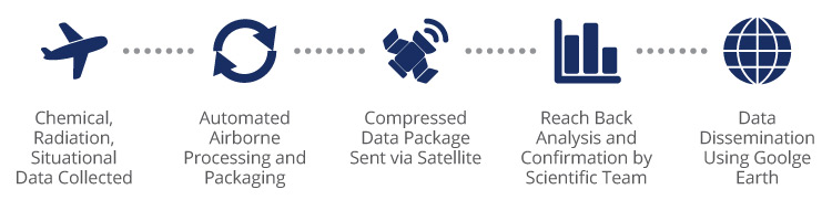
RAPID TURNAROUND
Once chemical, radiological, and situational data is collected by the ASPECT aircraft, it is processed onboard by advanced software, compressed and relayed to a scientific team on the ground, and disseminated to first responders in useable formats like Google Earth — all within five minutes.